Historical route used by ambitious young samurai in the last days of the Tokugawa Shogunate
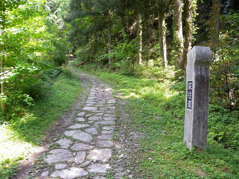
Hagi Ōkan was a key overland route in Chōshū domain that crossed the central Chūgoku Mountain Range, connecting cities on the Japan Sea to cities on the Inland Sea. Built at the start of the Edo period (1603–1867), the road stretched 53 kilometers from central Hagi to Mitajiri, now part of the city of Hōfu.
The road was built by the Mōri family, who ruled Chōshū domain from Hagi, the domain’s capital. Located on the Japan Sea coast, Hagi was relatively cut off from the rest of the domain, especially the other side of the Chūgoku Mountain Range. In order to solve this logistical problem, the Mōri built the 4-meter-wide highway that stretches from coast to coast. This helped them maintain power across their domain and gave them more direct access to the markets of Osaka that were also accessible from the Inland Sea.
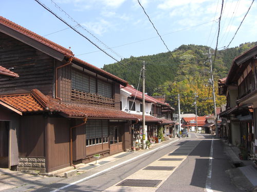
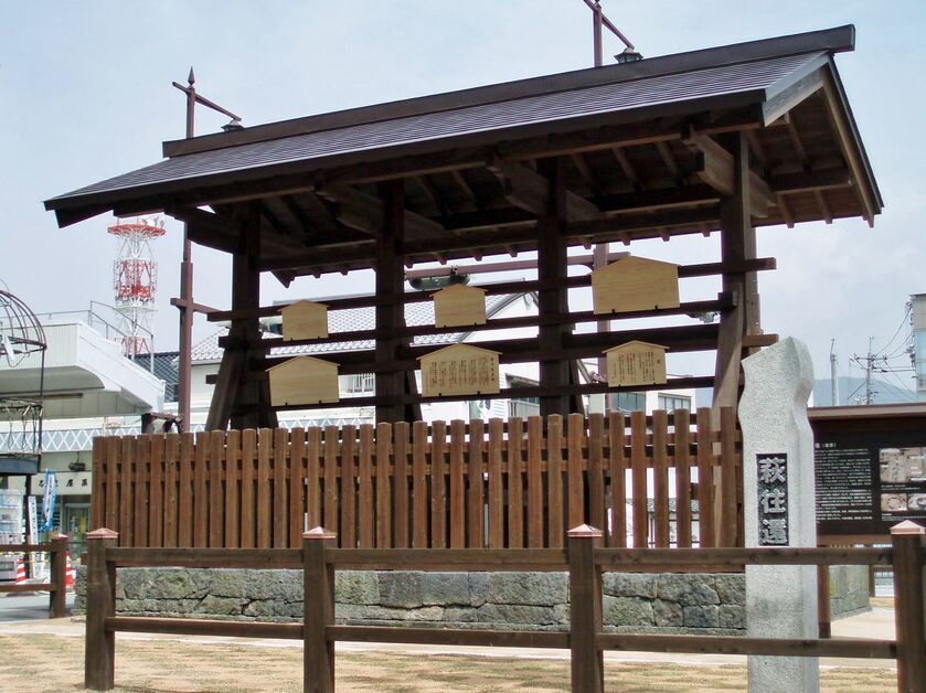
Dotted with lodgings and teahouses, Hagi Ōkan passed through the post towns of Akiragi, Sasanami-ichi, and Yamaguchi. The highway was used by the Mōri lords on their journeys to Edo (now Tokyo) as part of the alternate attendance system. The highway began at the Karahi Fudaba Noticeboard in Hagi. A fine replica of the noticeboard was installed at the original site in 2010.
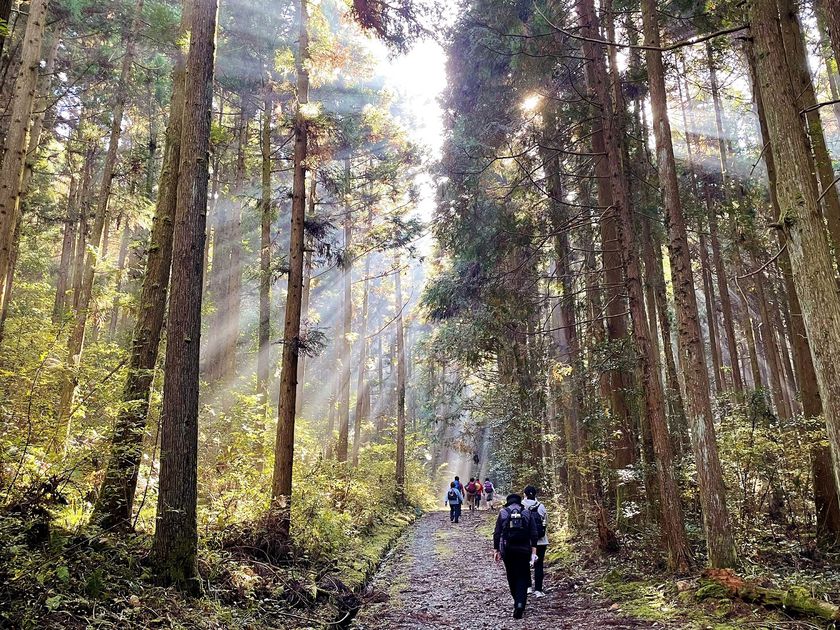
Today, about 26 kilometers of the highway have been restored and can be hiked in their entirety. The road passes through beautiful, untouched rural Yamaguchi, and it is a popular hike with both Japanese and international visitors. In 2007, it was listed as one of the Scenic Japanese Byways (Nihon Fūkei Kaidō).
(This English-language text was created by the Japan Tourism Agency. )
Google Maps link:
Akiragi(map)
Sasanami-ichi(map)
Natsukihara-Bōchō Kokkyō border(map)
the Hagi Historical parade Lord Street Walking Map(PDF)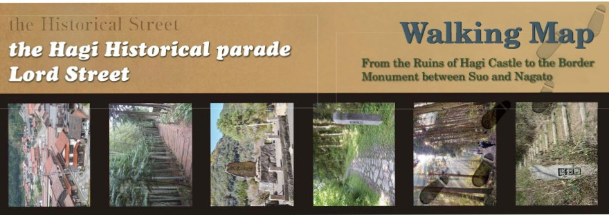
Basic info
| Address | Karahi, Hagi City ~ Mitajiri, Hofu City |
|---|